Myanmar AT72 at Yangon on Nov 17th 2022, temporary runway excursion on landing
A Myanmar National Airlines Avions de Transport Regional ATR-72-212A, registration XY-AME performing flight UB-402 from Sittwe to Yangon (Myanmar),…
| Key Facts | |
|---|---|
| Municipality | Yangon |
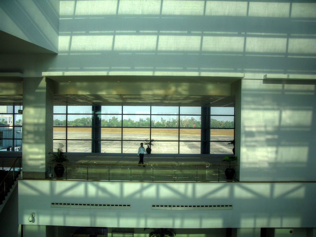
| Airport Name | Yangon International Airport |
| ICAO Code | VYYY |
| IATA Code | RGN |
| Country | Myanmar |
| Location | Lat: 16.9073009491 Lon: 96.1332015991 |
| Elevation | 109ft AMSL |
A Myanmar National Airlines Avions de Transport Regional ATR-72-212A, registration XY-AME performing flight UB-402 from Sittwe to Yangon (Myanmar),…
") Fleet type match
Fleet type match
A Singapore Airlines Airbus A330-300, registration 9V-SSI performing flight SQ-998 from Singapore (Singapore) to Yangon (Myanmar) with 282 passengers…
A Golden Myanmar Airlines Avions de Transport Regional ATR-72-212A, registration XY-AJM performing flight Y5-506 from Mandalay to Yangon (Myanmar)…
An Air Bagan Avions de Transport Regional ATR-72-200, registration XY-AIH performing flight W9-424 from Mandalay to Yangon (Myanmar) with 49…
") Fleet type match
Fleet type match
A Singapore Airlines Airbus A330-300, registration 9V-STS performing flight SQ-998 from Singapore (Singapore) to Yangon (Myanmar) with 252 passengers…

Discover how AeroInside supports your aviation research. Get access to AeroInside Insights with the Pro plan, a new enhanced search and filter tool, full read access to every article published and much more.
Note: Some incidents are linked via meteoroligal reports (METAR) only. This means sometimes an incident happened in the vicinity of an airport but not at that airport itself.