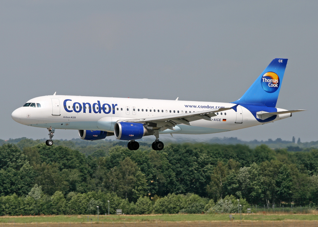
Condor A320 at Tenerife on Dec 11th 2013, descended below minimum safe height
Last Update: June 29, 2015 / 14:25:56 GMT/Zulu time


Incident Facts
Date of incident
Dec 11, 2013
Classification
Incident
Airline
Condor
Flight number
DE-3328
Departure
Hamburg, Germany
Destination
Tenerife Sur Reina Sofia, Spain
Aircraft Registration
D-AICE
Aircraft Type
Airbus A320
ICAO Type Designator
A320
Airport ICAO Code
GCTS
The aircraft refueled and flew again to Tenerife for a safe landing with a delay of 3 hours.
The airline confirmed the incident stating that the crew are trained to detect and correct such occurrences. Spain's Authorities are investigating.
Spain's CIAIAC confirmed an investigation was opened into the occurrence.
On Jan 17th 2014 the CIAIAC reported that the aircraft was on a standard arrival for runway 26. Due to changing winds and weather (thunderstorms) around the aerodrome tower changed the active runway to 08, the runway change was communicated to the crew, who left their southward standard arrival route to fly around the storm front and to intercept the localizer and glideslope. Tower subsequently radioed that the ILS glidepath had become inoperative, the crew therefore changed to a LOC/DME approach runway 08. In the final approach phase, at a radio height of 435 feet, the EGPWS emitted a terrain conflict warning, the crew initiated a go-around and taking weather conditions into account diverted to Fuerteventura. The investigation is continuing.
On Jan 22nd 2015 the CIAIAC reported in another interim statement, that after another crew on approach to runway 08 had reported problems with the glidepath transmitter technicians were dispatched and found both glidepath and DME transmitters were not working on the ILS runway 08. This information however was not relayed to the crew of D-AICE, who used the erroneous DME information and therefore commenced the descent early. The EGPWS issued a terrain alert when the aircraft descended through 435 feet AGL about 6nm from the runway which prompted the crew to initiate a go-around. The CIAIAC indicated that the investigation has been finished and the final report is about to be released.
On Jun 29th 2015 Spain's CIAIAC released their final report in Spanish concluding the probable cause of the incident was:
the erroneous use of the distance from the VOR/DME TFS as distance to the runway and the continuation of the approach below minimum descent altitude without visual reference to the runway.
Contributing factors were:
- The poor transmission of information about the state of ILS/DME runway 08 which ultimately led the crew to not know about the fault on the DME
- The poor transmission of information about the state of runway approach lights which ultimately led the crew to believe the lights were inoperative when they were active
- Lack of proper listening by both crew and air traffic control which prevented the detection of the navigational error committed by the crew when they reported their position
- The absence of the EGPWS terrain representation on the navigation display, in addition the overlay of radar echos makes it difficult to spot the track symbol
- Poor communication between captain and first officer when they did not use standard phraseology required during the approach procedure to call out visual contact with the ground
The CIAIAC reported that the aircraft was descending towards Tenerife South Airport when ATC advised of runway 26 being active and assigned standard arrival route (STAR) TERTO6H to the aircraft. Due to changing winds and lightning activity near the aerodrome the controller subsequently changed the runway and assigned runway 08 to the aircraft. In activating the equipment for runway 08 automatic monitoring of the ILS, identifier TRS, detected problems, some other aircraft reported the glideslope was not transmitting correctly. Maintenance technicians called in confirmed, that both glideslope and DME transmitter of the ILS were inoperative and were not transmitted. In the meantime D-AICE was departing from the assigned STAR and deviated around weather in order to intercept the localizer for runway 08. The crew was informed about the glideslope transmitter being inoperative, the approach was switched to the Localizer Approach runway 08, however, the crew was not informed about the ILS DME transmitter being inoperative as well and erroneusly tuned the DME transmitter of the VOR station instead using the VOR DME transmitter as reference for the LOC approach. VOR/DME TFS is located about 5.7nm before the runway threshold. The crew therefore initiated the descent towards the runway 14nm out when the aircraft reached a DME reading of 8.5nm and the crew thus assumed they had reached their point of fixed angle of descent and initiated their descent using flight path angle (FPA) mode still on autopilot and autothrust. Neither crew nor air traffic control picked up that the aircraft was initiating the descent too early.
When descending through 435 feet AGL about 6nm before the runway threshold the EGPWS sounded a terrain alert, the crew initiated a go-around in response and subsequently diverted to Fuerteventura.
The CIAIAC reported that the VOR receiver of the aircraft was tuned to the VOR/DME TFS, the representation of DME on the navigation display was driven that DME receiver. The ILS receiver was correctly tuned to the ILS frequency runway 08, the flight data recorder however did not store the DME readings making it impossible to verify the presence of the DME signal. Both pilots had set their NDs to arc mode, the captain with ranges between 12 and 27nm, the first officer with a range of 40nm, neither pilot had activated the terrain representation on their NDs. The aircraft intercepted the localizer about 20nm from the VOR. The minimum height recorded by the flight data recorder was 410 feet AGL.
The CIAIAC analysed that the crew of D-AICE heard communication between air traffic control and another aircraft that the approach lights were inoperative. This, in fact, was erroneous, the approach lights were operative, only the sequencing light was inoperative. The CIAIAC reported that the power station of the aerodrome had correctly informed tower about the status of approach and approach sequencing lights.
The CIAIAC analysed that later the crew, about 25nm before the runway threshold and about to intercept the localizer, noticed that the DME of the localizer was not available. The captain believed there had been a note in the NOTAMs available during preflight preparation, however, such a NOTAM did not exist. Air Traffic Control also did not provide information about the failure of the DME transmitter on the localizer. The crew thus considered how to fly the approach, both crew used the VOR/DME DME information as their reference. The CIAIAC argued that on most approaches the crew are accustomed to not have the DME information on the primary flight display (associated with the LOC or ILS), but on the navigation display (associated with the VOR/DME), which may have influenced their thinking.
The CIAIAC analysed that the crew went into a mode of mental overload during the approach, when 60nm before estimated touchdown their arrival route, arrival runway and approach procedure was changed and they needed to deviate around weather to intercept the localizer. The crew was unable to accept information outside expectations during this phase, which required re-programming of the FMGS, rebriefing of the approach procedure, flight progress monitoring and monitoring of the developing complicated weather situation which was prioritized over the terrain awareness evident by the ND settings.
The CIAIAC expanded that argument stating: "Attention is the result of voluntary application of cognitive resources in an object of interest at the moment. The expectation of schemata mapped mentally by the crew to avoid the storm cell guided their attention. It would be very difficult to capture the attention of the pilots during that phase with information that is not part of their expectations. During those overloaded phases of flight mental availability is greatly reduced causing specific information, although highly important, to go unnoticed, resulting in tunnel view and associated loss of situational awareness."
The CIAIAC continued analysis of human factors: "Humans have a tendency to remain faithful of their decisions, they try to find information confirming their decision and tend to ignore information which objects their decision, called 'confirmation bias'". In the context of the confirmation bias the crew therefore acted based on the not-existing NOTAM when they did not receive DME information on their primary flight displays, the crew also formed and used a mental set from the unconfirmed and unverified information about the approach lights being inoperative.
The CIAIAC concluded human factors' analysis that ultimately the erroneous selection of TFS (VOR) instead of TRS (ILS) for the DME display probably was due to the stress caused by the work load introduced by the change of approach. The continuation of the approach is to be explained by the fact, that human brains do not interprete information directly but on a representation of the same, a system of expectations built before action that allows to infer information expected and to measure deviations. This trend can only be broken by a correct feedback, which in this case did not occur, neither from any member of the crew nor from ATC.
The CIAIAC analysed that the approach charts referenced both TRS and TFS distances for the approach in order to improve robustness of the approach and permit the approach to be used even if the DME of TRS is inoperative offering TFS as alternative of reference - with different distance values. However, neither occurrence crew, nor the crew of another company aircraft, opted to use the correct TFS distances. Instead, the other crew used the VOR/DME approach chart. There was an erroneous interpretation with the crews believing that it needed ATC authorization to use the alternative DME information, they could have flown the approach using the alternative DME information. However, neither crew decided to inform ATC of being unable to continue the approach due to the loss of DME, and neither crew requested the VOR/DME approach. The CIAIAC wrote: "The behaviour of the crews and the information received from the own company denotes the lack of a clear and homogeneous approach to the interpretation of alternative DME information."
Metars:
GCTS 111400Z 07009KT 5000 DZ BKN020TCU 19/17 Q1017 NOSIG
GCTS 111330Z 08010KT 050V110 1500 RA BKN030TCU 18/17 Q1017 NOSIG
GCTS 111300Z 05010KT 020V080 5000 -RA BKN020TCU 19/16 Q1018 NOSIG
GCTS 111230Z 06010KT 3000 RA BKN030TCU 18/17 Q1018 NOSIG
GCTS 111200Z 06011KT 3000 TSRA BKN040CB 18/16 Q1018 NOSIG
GCTS 111130Z 05013KT 020V080 3000 -TSRA BKN015CB 18/16 Q1018 NOSIG
GCTS 111100Z 05011KT 1500 -TSRA BKN015CB 18/16 Q1019 NOSIG
GCTS 111030Z 03009KT 1000 TSRA BKN015CB 18/16 Q1019 NOSIG
GCTS 111000Z 36011KT 1000 TSRA BKN015CB 17/16 Q//// NOSIG
GCTS 110938Z 32012KT 300V360 0800 TSRA BKN015CB 18/16 Q//// NOSIG
GCTS 110930Z 36008KT 300V040 1500 TSRA BKN015CB 17/16 Q//// NOSIG
GCTS 110907Z 30008KT 250V340 1500 TSRA BKN021CB 18/16 Q1018 NOSIG
GCTS 110917Z 29011KT 0800 TSRA BKN021CB 18/17 Q1018 NOSIG
GCTS 110950Z 01011KT 1500 TSRA BKN015CB 17/16 Q//// NOSIG
GCTS 110900Z 30011KT 250V340 0800 TSRA BKN021CB 18/16 Q1018 NOSIG
Incident Facts
Date of incident
Dec 11, 2013
Classification
Incident
Airline
Condor
Flight number
DE-3328
Departure
Hamburg, Germany
Destination
Tenerife Sur Reina Sofia, Spain
Aircraft Registration
D-AICE
Aircraft Type
Airbus A320
ICAO Type Designator
A320
Airport ICAO Code
GCTS
This article is published under license from Avherald.com. © of text by Avherald.com.
Article source
You can read 2 more free articles without a subscription.
Subscribe now and continue reading without any limits!
Read unlimited articles and receive our daily update briefing. Gain better insights into what is happening in commercial aviation safety.
Send tip
Support AeroInside by sending a small tip amount.
Related articles
") Fleet type match
Fleet type match
Condor A320 at Munich on Jun 18th 2021, rejected takeoff due to airspeeds disagreeing
A Condor Airbus A320-200, registration D-AICE performing flight DE-1606 from Munich (Germany) to Mikonos (Greece), was accelerating for takeoff from…
") Fleet type match
Fleet type match
Condor A339 at Frankfurt on Jan 7th 2026, flight crew donned oxygen masks
A Condor Airbus A330-900, registration D-ANRL performing flight DE-2402 from Frankfurt/Main (Germany) to Toronto,ON (Canada), was climbing out of…
") Fleet type match
Fleet type match
Condor A321 at Pristina on Aug 24th 2025, bird strike
A Condor Airbus A321-200, registration D-ATCC performing flight DE-145 from Pristina (Kosovo) to Dusseldorf (Germany), was climbing out of Pristina's…
") Fleet type match
Fleet type match
Condor B753 at Corfu on Aug 16th 2025, engine shut down in flight
A Condor Boeing 757-300, registration D-ABOK performing flight DE-3665 from Corfu (Greece) to Dusseldorf (Germany) with 273 passengers and 8 crew,…
") Fleet type match
Fleet type match
Condor B753 at Frankfurt on May 20th 2024, sudden stop during taxi
A Condor Boeing 757-300, registration D-ABOB performing flight DE-1504 from Frankfurt/Main (Germany) to Palma Mallorca,SP (Spain), was cleared for…
") Fleet type match
Fleet type match
Condor A339 near Mauritius on Mar 2nd 2023, turbulence injures 22
A Condor Airbus A330-900N, registration D-ANRA performing flight DE-2314 (dep Mar 1st) from Frankfurt/Main (Germany) to Mauritius (Mauritius) with…
Newest articles
") Fleet type match
Fleet type match
Swiss A333 at Delhi on Apr 26th 2026, rejected takeoff due to engine failure
A Swiss International Airlines Airbus A330-300, registration HB-JHK performing flight LX-147 from Delhi (India) to Zurich (Switzerland) with 232…
UPS B752 at Louisville on Mar 5th 2026, unreliable air data
A UPS United Parcel Service Boeing 757-200 freighter, registration N466UP performing flight 5X-2870 from Louisville,KY to Albuquerque,NM (USA) with 2…
Subscribe today
Are you researching aviation incidents? Get access to AeroInside Insights, unlimited read access and receive the daily newsletter.
Pick your plan and subscribePartner
ELITE Simulation Solutions is a leading global provider of Flight Simulation Training Devices, IFR training software as well as flight controls and related services. Find out more.
SafetyScan Pro provides streamlined access to thousands of aviation accident reports. Tailored for your safety management efforts. Book your demo today
AeroInside Blog
Popular aircraft
Airbus A320Boeing 737-800
Boeing 737-800 MAX
Popular airlines
American AirlinesUnited
Delta
Air Canada
Lufthansa
British Airways