Qantas B738 at Cairns on Oct 26th 2022, descended below minimum safe altitude
Last Update: August 9, 2023 / 15:07:24 GMT/Zulu time
Incident Facts
Date of incident
Oct 26, 2022
Classification
Incident
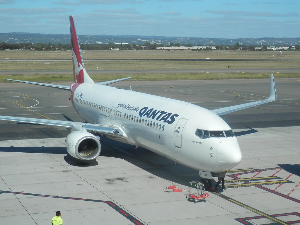
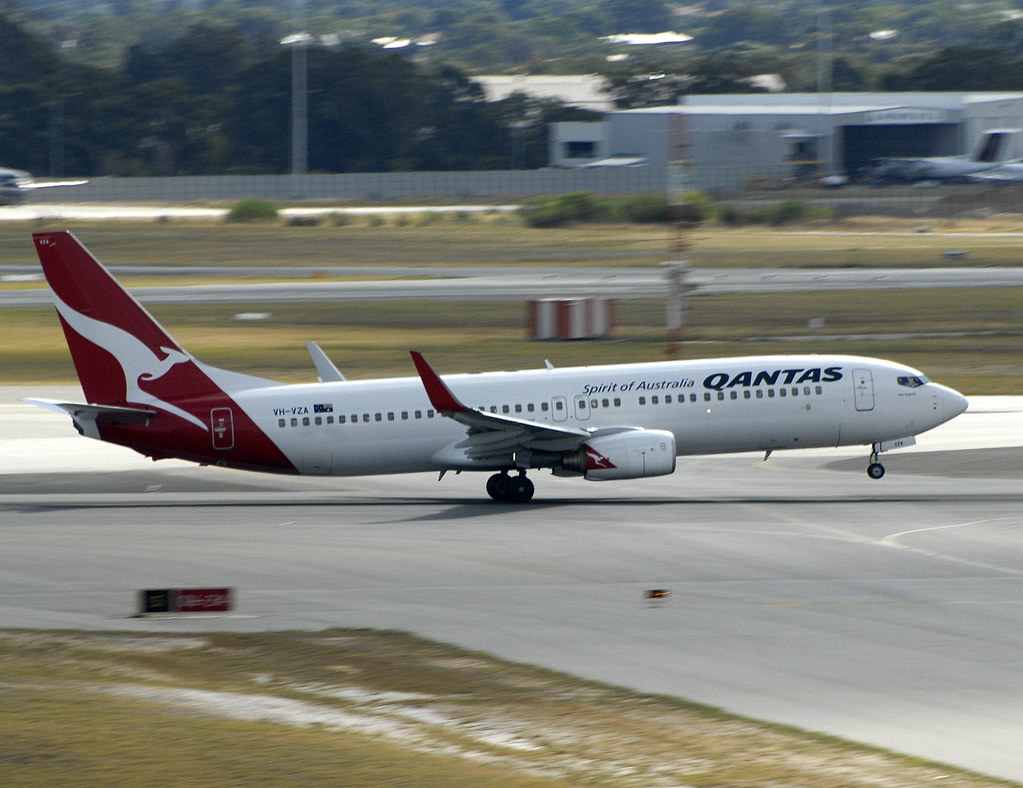
Airline
Qantas
Flight number
QF-706
Departure
Brisbane, Australia
Destination
Cairns, Australia
Aircraft Registration
VH-VZA
Aircraft Type
Boeing 737-800
ICAO Type Designator
B738
The ATSB released their preliminary report summarizing the sequence of events:
At 0739, in daylight, while the aircraft was in cruise at FL 380 about 225 NM to the south of Cairns, ATC provided the crew with clearance to conduct the Cairns HENDO 8Y STAR via the BARIA waypoint transition.
The flight crew entered the HENDO 8Y STAR into the FMC and selected the BARIA transition. While clearance for the RNP Y runway 33 approach had not been provided at that time, the crew anticipated the clearance and loaded the approach. The crew believed that they had only been cleared for the BARIA STAR transition and had not yet received clearance for the HENDO approach transition, and therefore did not select that transition. As the selection had not been made, the FMC did not load the instrument approach segment from the IAF to the IF and presented a discontinuity between HENDO and the IAF waypoint CS540 (see the section titled Flight management computer).
The crew noted that the waypoints CS522 and CS523 were missing from the track presented on the navigation display and contacted ATC to request confirmation of the STAR clearance. ATC then provided a clearance for the HENDO 8Y STAR with a FISHY transition. The crew reviewed the STAR chart and assessed that they could not achieve the required descent profile to proceed via FISHY and requested confirmation of the STAR transition. ATC then confirmed the STAR transition was via BARIA.
The flight crew noted that the track from HENDO to CS540 passed over the locations of CS522 and CS523. As there was no cloud along the flight path and terrain was visible, the crew were not reliant on FMC programming for terrain clearance. As such, the crew decided to join the discontinuity at HENDO to CS540 to proceed with the approach. The captain also selected an altitude 6,800 ft in the autopilot mode control panel.
At 0808:20, when the aircraft was 18 NM east of HENDO with the autopilot engaged and descending through about FL110, ATC provided the crew with clearance to conduct the RNP Y runway 33 approach.
At 0810:42, when the aircraft was about 7 NM east of HENDO, the captain selected 5,500 ft in the autopilot mode control panel and the aircraft descended below 6,800 ft, and 34 seconds later below the 6,500 ft MSA.
The aircraft passed HENDO at 0811:56 at an altitude of about 6,125 ft. Eleven seconds later, ATC contacted the crew to confirm that the aircraft had passed HENDO at the correct altitude. ATC then confirmed with the crew that the flight was operating in visual conditions and provided clearance for a visual approach. The aircraft landed at Cairns without further incident.
On Aug 9th 2023 the ATSB released their combined final report into both this and the occurrence two days earlier, see Incident: Virgin Australia B738 at Cairns on Oct 24th 2022, descended below minimum safe height concluding the probable causes of the incidents were:
Contributing factors
- Both flight crews did not recognise that an approach transition selection was required in the aircraft’s flight management computer. Not selecting the approach transition resulted in a programmed flight path discontinuity between the waypoints HENDO and CS540.
- The flight crews of both aircraft resolved the discontinuity by manually linking the HENDO waypoint associated with the arrival programming to waypoint CS540. This selection removed the 6,800 ft descent altitude constraint associated with the HENDO waypoint in the approach programming. With the altitude constraint removed, the programmed flightpaths led to both aircraft descending below the minimum safe altitude.
- The vertical profile depiction on the Jeppesen RNP Y runway 33 approach chart did not include the waypoints HENDO, CS522 and CS523 and the map presented the information associated with those waypoints over dense topographical information. This likely limited the ability of both crews to identify the descent restrictions associated with those waypoints.
- Both operator’s instrument approach briefing procedure included a requirement to ensure all necessary waypoints and operational constraints were included in the procedures loaded into the flight management computer. However, the briefing conducted by the flight crews did not identify that data entry errors had removed some altitude protections.
Other findings
- On each occasion, air traffic control intervened quickly and appropriately to resolve the risks of each descent below the minimum safe altitude.
The ATSB analysed:
Introduction
On the evening of 24 October 2022, a Boeing 737-800 operated by Virgin Australia Airlines operated a night air transport flight from Brisbane to Cairns, Queensland. On the morning of 26 October 2022, a Boeing 737-800 operated by Qantas Airways operated the same route in daylight. During both flights, the crews did not recognise that an approach transition had to be selected when entering approach data into the flight management computer (FMC) and no selection was made.
This analysis focuses on the reasons for the crews not making the approach transition selection or identifying the data entry error prior to it resulting in both aircraft descending below the minimum safe altitude.
Transition selection
The Cairns HENDO 8Y arrival procedure had 7 arrival transitions and was named after the last waypoint in the procedure (the first common waypoint for the transitions), which was relatively uncommon. The HENDO waypoint was also one of 2 initial approach fixes (IAF) and was therefore also the name of a transition for the approach. The 2 approach transition options were presented on the right-hand side of the same FMC page as the arrival transitions, with 4 arrival transitions on the left-hand side of the same page and the remaining 3 on the next page. The crews of both aircraft did not recognise that the transitions on the right related to the approach and consequently, the requirement to select an approach transition was not immediately apparent to them.
For the crew of VH-VUT, this perception was compounded by the misidentification of the waypoint CS540 as the IAF (see the section below titled Approach chart). Separately, the crew of VH-VZA were influenced by an expectation that the wording of the approach clearance would include the nomination of a transition. However, as an airways clearance to Cairns via the HENDO 8Y arrival and RNP Y approach had been provided, no separate nomination of the approach transition was required or provided.
Ultimately, these factors resulted in both flight crews not recognising that an approach transition selection was required and consequently, none was selected. Not selecting the approach transition resulted in a discontinuity between the waypoints HENDO and CS540 in the programmed flight path.
Discontinuity resolution
Having misidentified CS540 as the IAF, the captain of VH-VUT resolved the discontinuity by manually linking HENDO from the arrival to CS540 in the approach. This presented an approach track that closely aligned with the crew’s expectations, but with the omission of the altitude constraints associated with the approach waypoints HENDO, CS522 and CS523.
On board VH-VZA, after entering the approach without selecting a transition, the crew identified that waypoints were missing from the approach. As the programmed flight path continued along the same track, the crew elected to continue the approach without the entering the waypoints into the FMC and linked the waypoint HENDO from the arrival to CS540 in the approach. This decision was possibly influenced by the fact that the aircraft was operating in visual conditions and the crew were not reliant on the FMC programming for terrain clearance. However, the crew did not identify that altitude constraints associated with the unprogrammed waypoints were omitted from the programmed flight path.
In each case, this led to the approaches continuing with the altitude constraints removed and when an altitude below the minimum safe altitude was selected, the aircraft commenced automatically descending to that altitude. This resulted in both aircraft descending below the approach altitude constraints and then the minimum sector altitude. This was contrary to air traffic control clearances and, for VH-VUT, also reduced obstacle clearance assurance as the flight was conducted in darkness.
Approach chart
The HENDO 8Y arrival and Cairns RNP Y runway 33 approach were a complex procedure pairing with similarly complex charts.
In addition, the Jeppesen approach chart used by both crews was designed and published in accordance with ICAO guidance, but did not include the waypoints HENDO, CS522 and CS523 on the vertical profile depiction. This information was included on a comparable chart produced by Airservices Australia. Had those waypoints been included on the vertical profile of the Jeppesen chart, the likelihood of the descent restrictions being identified would have been increased.
The missing waypoints on the vertical profile and thicker track line from CS540 on the approach chart likely contributed to the captain of VH-VUT misidentifying that waypoint as the IAF. These missing waypoints were also the waypoints omitted from the FMC programming if an approach transition was not selected. Therefore, their omission was not an immediate indicator of a data entry error.
Furthermore, the Jeppesen chart presented the information (including the altitude constraints) associated with the missing waypoints and segments over topographical information on the map and separated from the relevant waypoints and segments. This reduced the readability of the information and may have contributed to the crews not associating the relevant information with their respective waypoints and segments thereby further reducing the crews’ ability to identify the associated altitude constraints.
Approach Briefing
Both operators required the approach briefing to ensure that the data entered into the flight management computer included all relevant waypoints and altitude constraints from the procedure chart.
In each case, the pilot flying read from the procedure chart while the pilot monitoring reviewed the data in the FMC. This method was not fully independent and relied on the pilot flying to identify all applicable details. The missed altitude constraints (and waypoints in the case of VH-VUT) were not read out by the pilot flying and therefore, their omission was not identified by the pilot monitoring’s check. The pilot monitoring’s assessments of the correct data input was also supported by the navigation display map view tracks closely aligning with expectations.
During the approach briefing conducted by the crew of VH-VUT an opportunity was presented to pause the brief and identify the data entry error. This occurred when the pilot monitoring became confused as to the sequence of the data being read by the pilot flying. The pilot monitoring sought clarification from the pilot flying. This likely occurred as the data entered was not complete and should have acted as a trigger for reassessment of that data.
In the case of VH-VZA, the crew did identify the missing waypoints but did not fully consider the altitude constraint implication associated with these waypoints. A comprehensive brief would probably have identified these missing constraints. While the terrain was visible to the crew and they were not reliant on FMC programming for terrain protection, the airways clearance did require adherence to the limiting altitudes.
In summary, the approach briefs conducted by the crews did not ensure that the charts, and the programmed approach flight path, were fully and independently assessed. Therefore, the data entry errors leading to the removal of the altitude protections were not detected.
Air traffic control intervention
On each occasion, air traffic control quickly identified the aircraft descending below the 6,800 ft altitude constraint and immediately contacted the crews. As the VH-VUT incident was at night and not in visual conditions, the controller issued a low altitude alert to the crew and advised them to climb immediately.
The conditions were clear and during daylight for the crew of VH-VZA and therefore air traffic control was able to provide a clearance for a visual approach.
Air traffic control acts to coordinate the flow of aircraft arriving at an airport, but also plays an important role in identifying risks to aircraft. On these occasions, air traffic control intervened quickly and appropriately to resolve the risks of each descent below the minimum safe altitude.
Incident Facts
Date of incident
Oct 26, 2022
Classification
Incident
Airline
Qantas
Flight number
QF-706
Departure
Brisbane, Australia
Destination
Cairns, Australia
Aircraft Registration
VH-VZA
Aircraft Type
Boeing 737-800
ICAO Type Designator
B738
This article is published under license from Avherald.com. © of text by Avherald.com.
Article source
You can read 2 more free articles without a subscription.
Subscribe now and continue reading without any limits!
Read unlimited articles and receive our daily update briefing. Gain better insights into what is happening in commercial aviation safety.
Send tip
Support AeroInside by sending a small tip amount.
Related articles
") Fleet type match
Fleet type match
Qantas B738 enroute on Apr 10th 2026, fumes on board
A Qantas Boeing 737-800, registration VH-VZC performing flight QF-857 from Canberra,AC to Perth,WA (Australia), was enroute at FL380 about 500nm west…
") Fleet type match
Fleet type match
Qantas A388 at Sydney on Jan 4th 2026, rejected takeoff
A Qantas Airbus A380-800, registration VH-OQB performing flight QF-1 from Sydney,NS (Australia) to Singapore (Singapore), was accelerating for…
") Fleet type match
Fleet type match
Qantas A332 enroute on Dec 23rd 2025, pressurization problem
A Qantas Airbus A330-200, registration VH-EBA performing flight QF-36 from Singapore (Singapore) to Melbourne,VI (Australia) with 240 people on…
") Fleet type match
Fleet type match
Qantas B738 near Auckland on Sep 26th 2025, cargo fire indication
A Qantas Boeing 737-800, registration VH-VZE performing flight QF-141 from Sydney,NS (Australia) to Auckland (New Zealand), was descending towards…
Alliance E190 near Darwin on Sep 22nd 2025, loss of cabin pressure
An Alliance Airlines Embraer ERJ-190 on behalf of Qantas, registration VH-XVU performing flight QF-1889 from Darwin,NT to Cairns,QL (Australia), had…
Newest articles
") Fleet type match
Fleet type match
Amerijet B763 at Gander on Mar 1st 2026, smoke in cockpit, cargo fire warnings
An Amerijet Boeing 767-300 freighter, registration N347CM performing flight M6-8620 from Brussels (Belgium) to Gander,NL (Canada) with 3 crew, landed…
") Fleet type match
Fleet type match
United A320 at Chicago on Apr 15th 2026, hydraulic failure
A United Airbus A320-200, registration N441UA performing flight UA-1182 from Columbus,OH to Chicago O'Hare,IL (USA) with 65 people on board, was on…
Subscribe today
Are you researching aviation incidents? Get access to AeroInside Insights, unlimited read access and receive the daily newsletter.
Pick your plan and subscribePartner
ELITE Simulation Solutions is a leading global provider of Flight Simulation Training Devices, IFR training software as well as flight controls and related services. Find out more.
SafetyScan Pro provides streamlined access to thousands of aviation accident reports. Tailored for your safety management efforts. Book your demo today
AeroInside Blog
Popular aircraft
Airbus A320Boeing 737-800
Boeing 737-800 MAX
Popular airlines
American AirlinesUnited
Delta
Air Canada
Lufthansa
British Airways